Maps for WPF allows you to visualize rich geographical information from various sources, including Bing Maps and Google Maps. The Maps control is a powerful data visualization tool that displays statistical data for a geographical area. It is highly interactive and provides customizable features such as zooming, panning, selecting, markers, KML and layers support. Using the Maps control, the user can render different types of maps, be it sales, weather, political, or route maps.
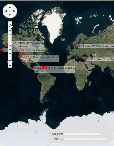
Built on top of the Microsoft Deep Zoom technology, Maps control enables end-users to enjoy extreme close-ups with high-resolution images and smooth transitions. It also supports layers that allow you to superimpose your own custom elements to the maps.